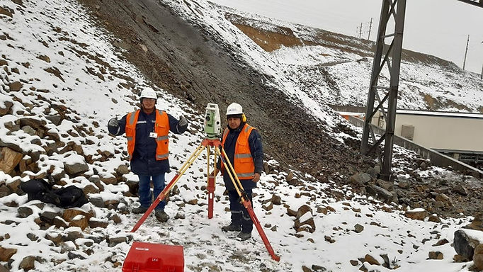
TOPOGRAPHY FOR
TEAM ALIGNMENT
TOPOGRAPHY
FOR EQUIPMENT ALIGNMENT
TECHNOLOGY
We carry out Geomatic services whose management includes the acquisition, modeling, treatment, storage,
recovery, analysis, exploitation, representation and dissemination of geodesy...


TOPOGRAPHICAL SURVEY
Thanks to measurements collected in the field, topographic maps are made, which describe the spatial relationship between physical characteristics, such as contour lines, hydrographic symbols, and cultural characteristics, such as roads and administrative boundaries.
DIGITAL STANDALONE
We developed an application for each vehicle to drive and act autonomously, based on data in real time and depending on the situation.
.jpeg)
ADVANCED CYBERSECURITY
Paragraph. Click here to add your own text and edit it. It is easy. Click "Edit Text" or double click here to add your content and change the font. In this space you can tell your story and allow users to know more about you.
INFORMATION IN REAL TIME
Paragraph. Click here to add your own text and edit it. It is easy. Click "Edit Text" or double click here to add your content and change the font. In this space you can tell your story and allow users to know more about you.